Engineering & Construction
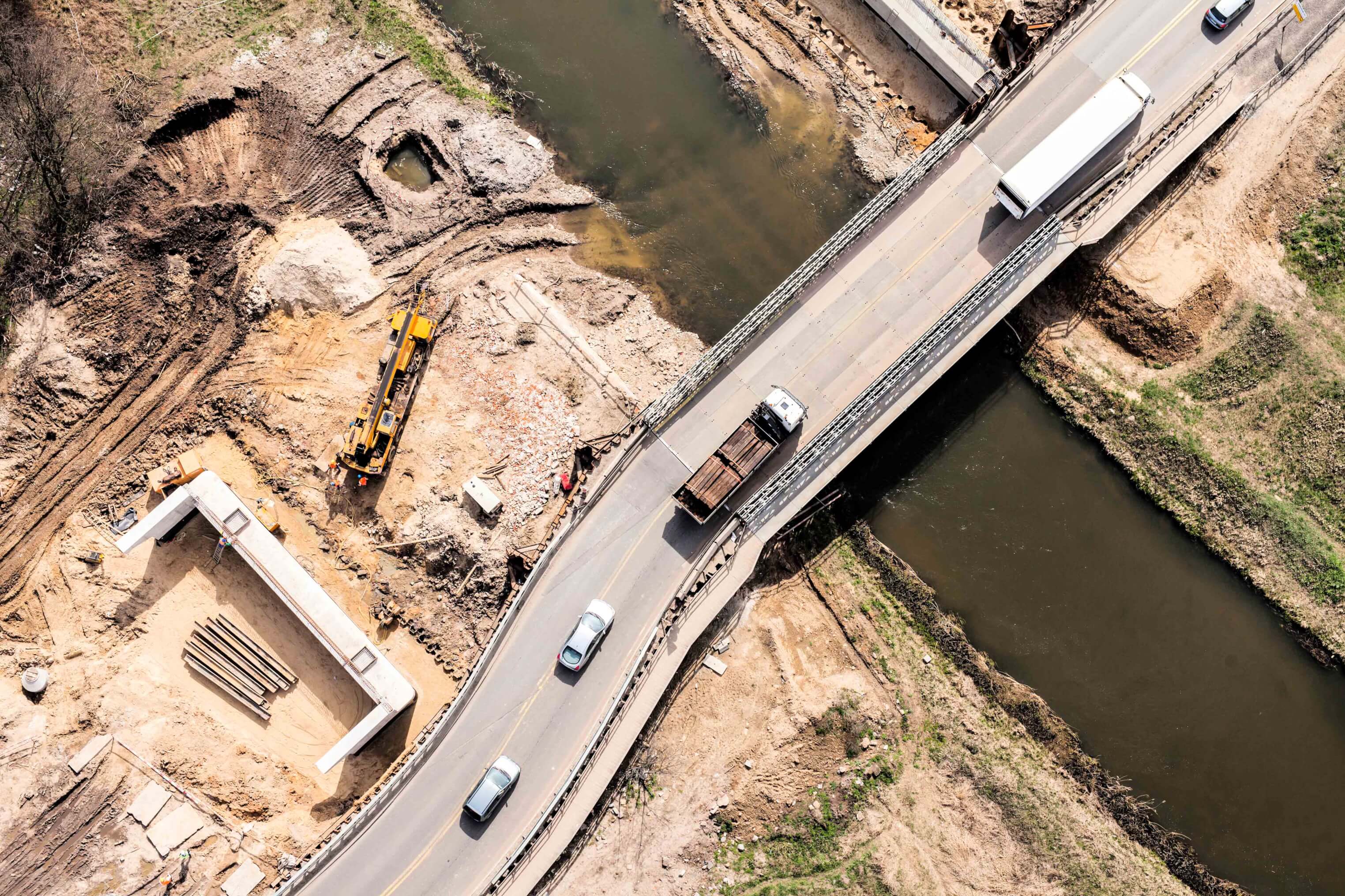
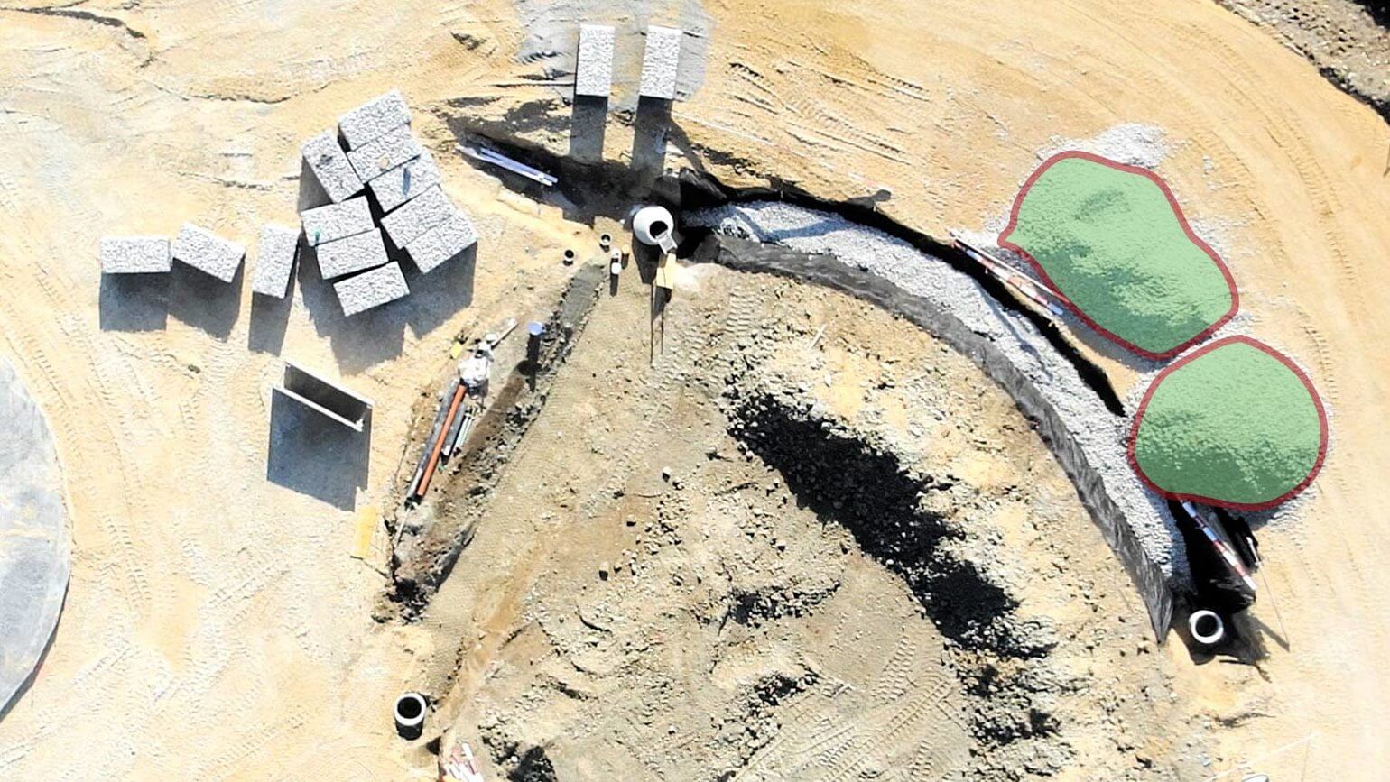
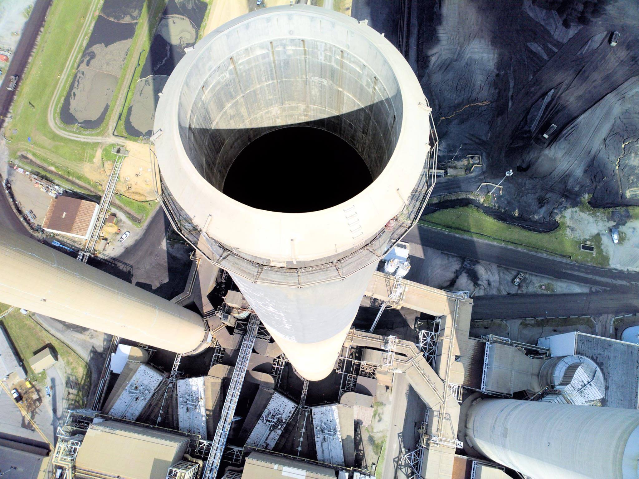
The time- and cost-saving benefits of collecting geospatial data by drone are being realised by an increasing number of construction and engineering operations—whether using unmanned systems to monitor a site’s evolution, measure cut and fill volumes, inspect infrastructure or generate accurate 3D building models.
Monitoring
Drone very quickly provide high-resolution geo-accurate data of a site. The data can be acquired much quicker than through visual inspections and avoids the common safety challenges.