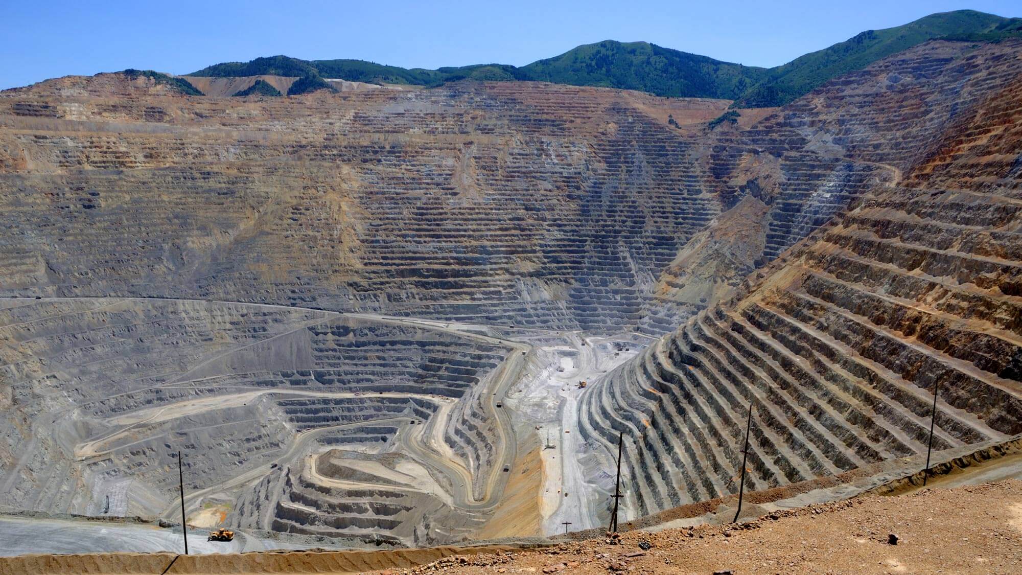
Mining, Quarries & Aggregates
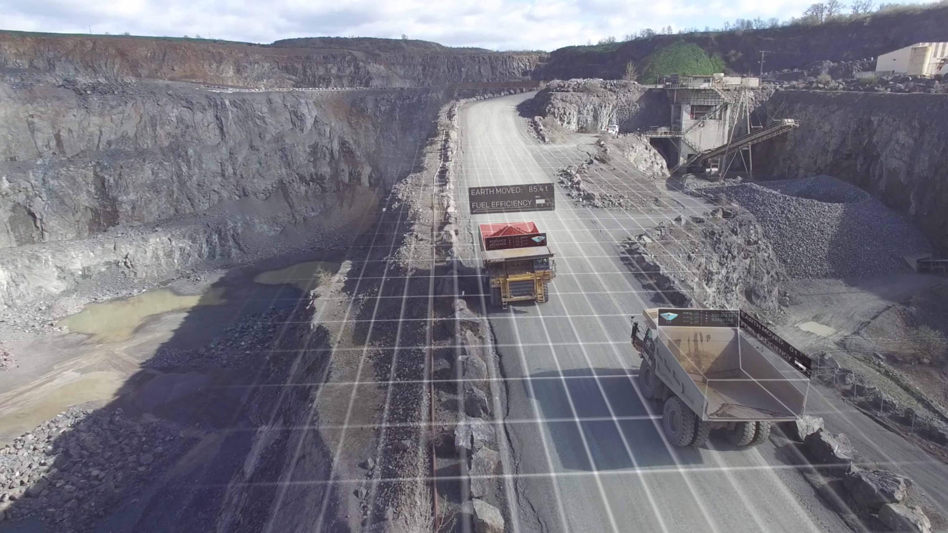
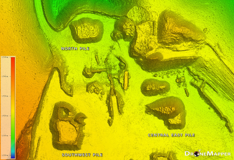
With a single automated flight, our drones collect timely, georeferenced data that is quickly transformed into a precise 3D model of your site. This can then be used to calculate volumes, perform site surveys, optimise traffic management, design road layouts and much more.
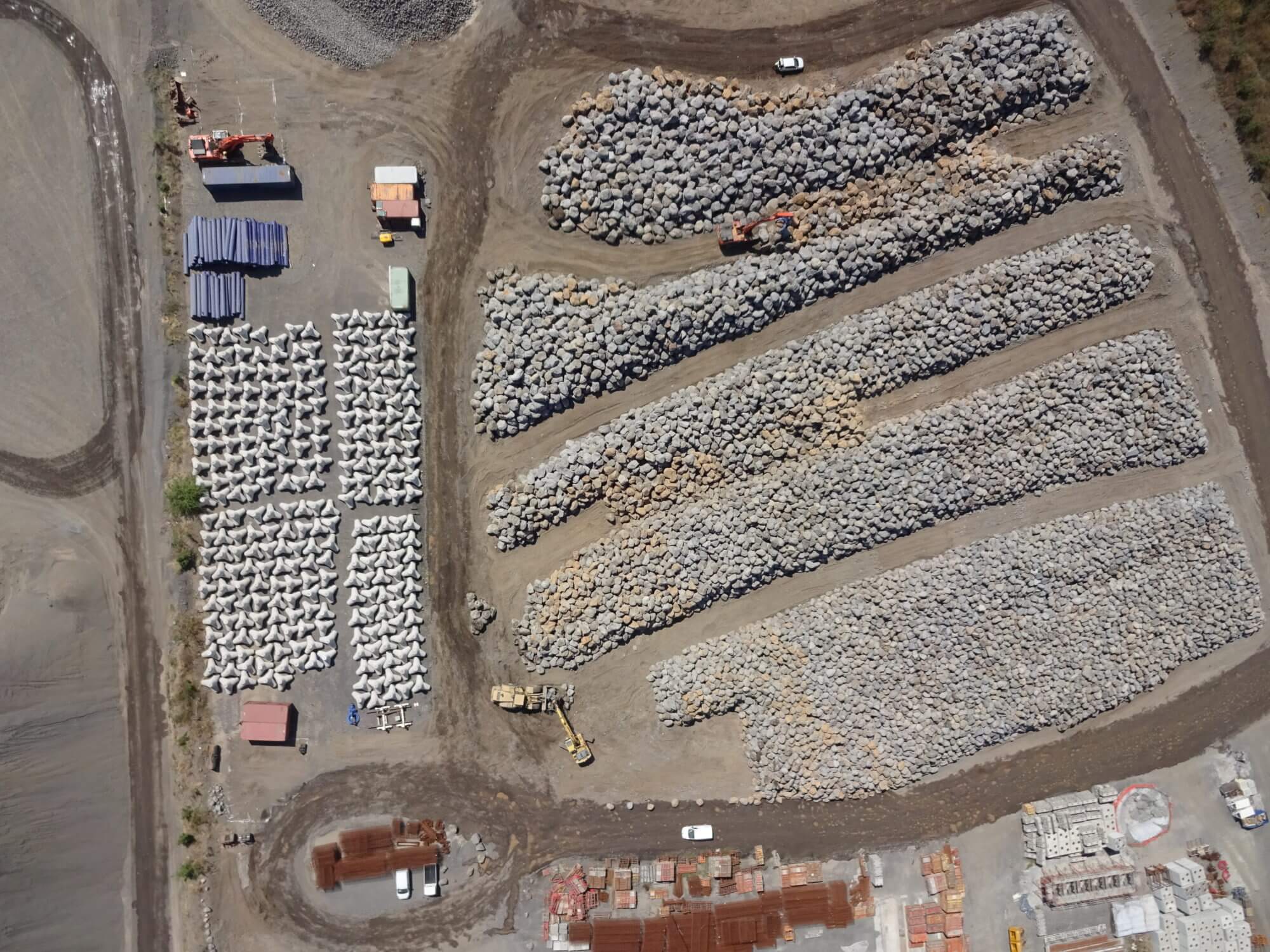
Inventory Tracking
Regular inventory and stockpile volume calculations increases efficiency and productivity.